


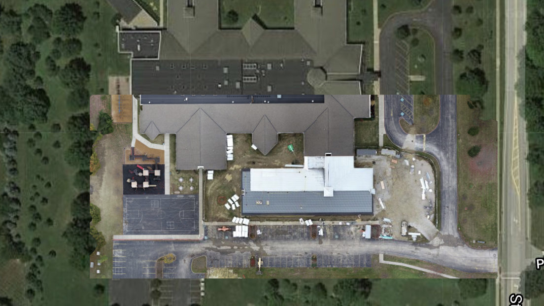
Mapping & 3D Imaging
Accurate aerial mapping of site conditions and new construction including creation of 3D models with elevation overlays.
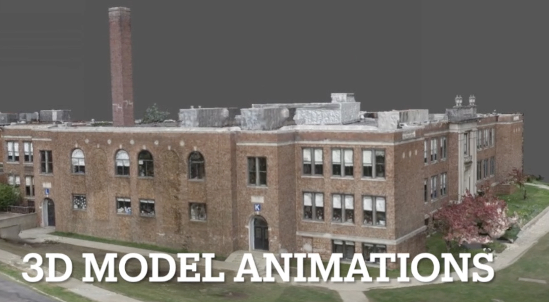
Virtual Flyover
3D exterior models allow elimination of foliage and full animation.
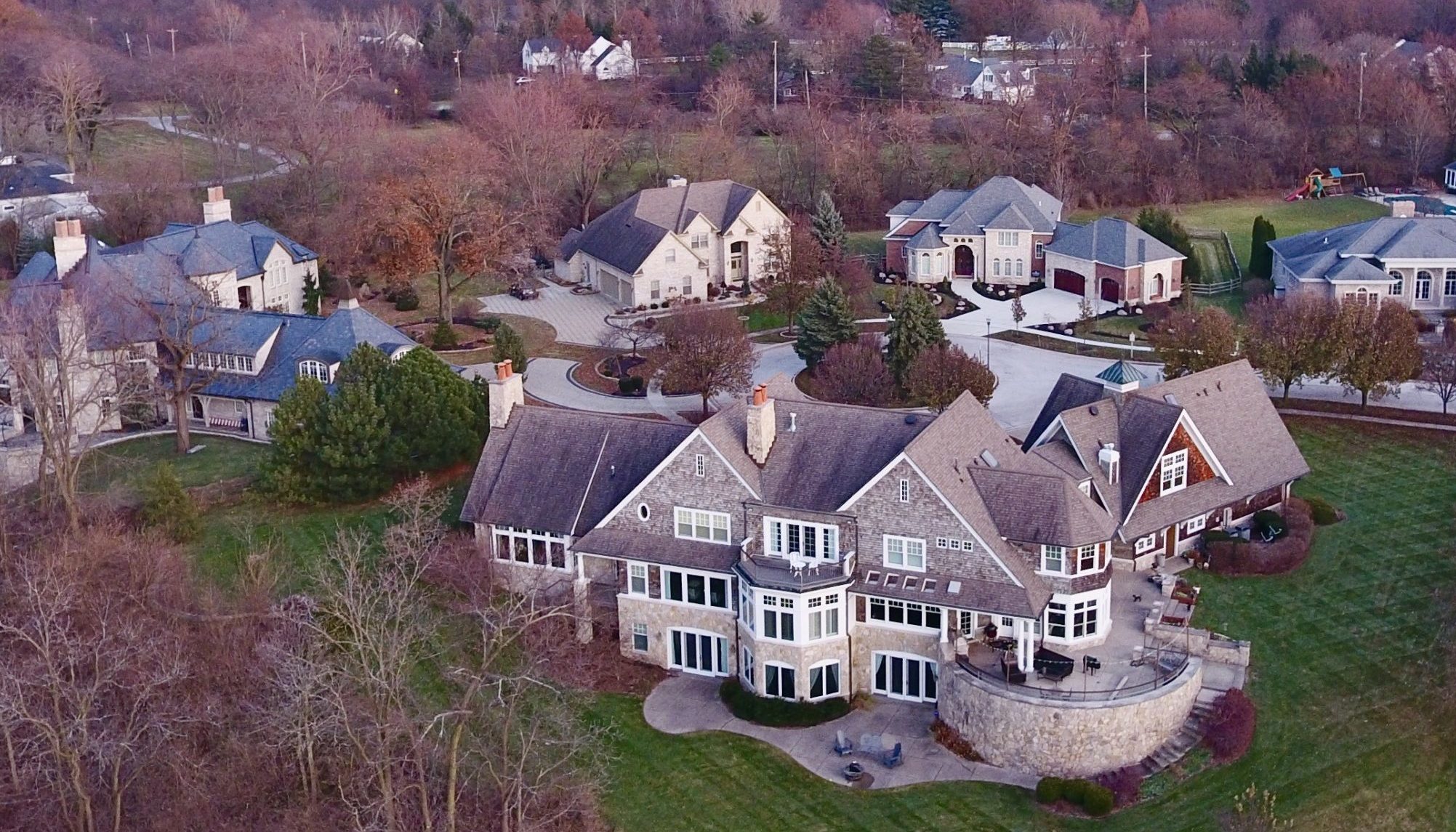
Real Estate
Commercial and Residential photography to showcase your building's or home's unique features.
Victor Aerial Services uses drone-derived data to create unique and interactive mechanisms for exploring, evaluating and documenting all types of real estate - from site plans to exterior/interior 3D modeling. We meld specialized flight techniques with advanced digital processing to produce novel and captivating deliverables.
![]()